 Sand storm starting.
From my files.
When one of these storms arrive, it means everything gets covered in a fine dust, which takes days to clear..
Photography – Oman & UK.
Sand storm starting.
From my files.
When one of these storms arrive, it means everything gets covered in a fine dust, which takes days to clear..
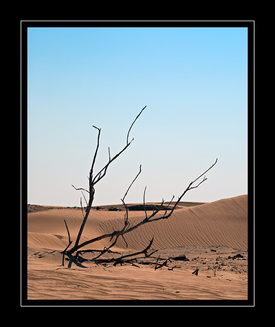
 Just Desert.
 Sand with a muddy consistency that has been rapidly dried by the sun, giving a potsherd appearance to the cracked and broken surface layer.
 It’s approximately 1000 km from Muscat to Salalah and this must be about halfway.
At least 2/3 of the journey is across desert and in the summer the temperatures can be upwards of 50 °C (122 °F) which takes its toll on both car & driver. Travel is best done at night in the summer months, but this has the added danger of Camels walking in the road. Sometimes there is very little if any cell phone signal, so don’t breakdown otherwise it’s a long walk. Although phone coverage is a recent worry for some people; it’s not very long ago that there was no communications at all outside the few towns that were en route. People forget that up until the late 1970’s there was no tarmac roads outside Muscat, so phone coverage was the least of travellers worries.
 Spot the bird…..
 Above is an edit of the image for more detail in the shadows:
found on some monitors that they tended to absolute black (see below – original post) which was not my intention.
 Beyond any help.
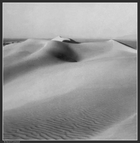
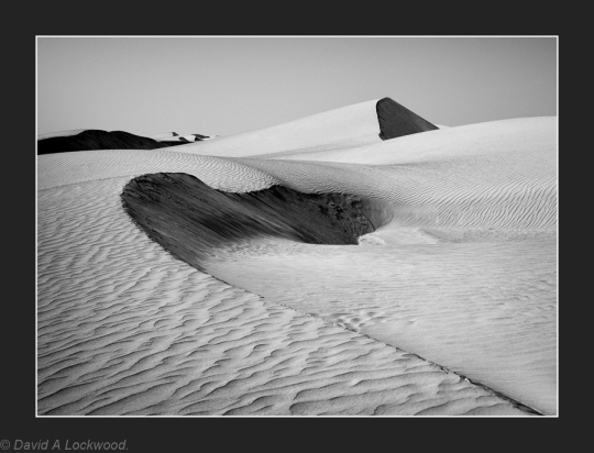
 Sand dunes – toned.
One of the reasons I find the deserts here in Oman so fascinating is the amount of archaeological sites that can be found, usually helped by word of mouth from the Bedouin. Standing next to a bed of flint that has been left by its workers a few thousand years ago. Rock art that has only recently come to the attention of those interested in such things. Stone artefacts that defy any description of their purpose.
The Rub al khali (the largest sand desert in the world) along with the Ramlat al-Wahiba are so vast that no one has been able to fully explore even a small area. One of the nice things about Google Maps is the ability to sit in comfort and slowly search for unusual surface indications or as in Saudi Arabia; major stone structures.
Load-up the Landrover, usually find someone as crazy and go look!
So being able to get a copy of this book, has kept me out of mischief for days…………..
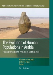
The contemporary deserts of Arabia form some of the most dramatic arid landscapes in the world; yet, during many times in the past, the region was well-watered, containing evidence for rivers and lakes. Climatic fluctuations through time must have had a profound effect on human population that lived and passed through the region. In this book, paleoenvironmental specialists, archaeologists and geneticists are brought together to provide a comprehensive account of the evolution of human populations in Arabia. A wide range of topics are explored in this book, including environmental change and its impact on human populations, the movement and dispersal of populations through the region, and the origin and spread of food producing economies. New theories and interpretations are presented which provide new insights into the evolution of human populations in a key region of the world.
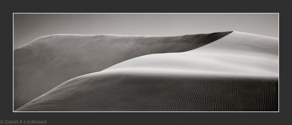
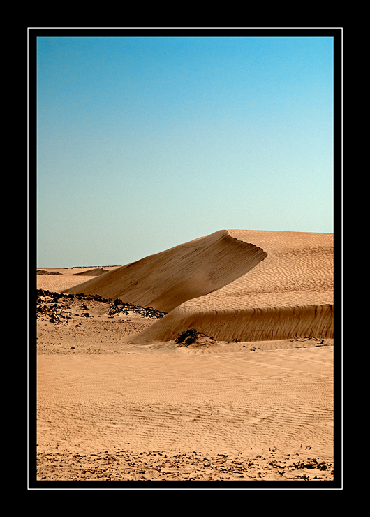
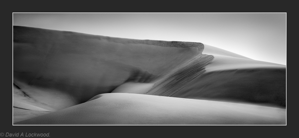 Dunes with wind-blown sand.
An exercise in Depth of Field Control for fun…… D800 AF engaged – exposure manual & pre-set from Pentax Spotmeter readings.
 This area is about 12,500 square kilometres (4,800 sq mi).
N.B……. If all the right precautions are taken (if you don’t then it is the survival of the fittest and you deserve to die) because there is not much chance of a rescue and the Bedouin will just think you an idiot!
An area well worth a visit for those wishing to experience the vast stillness of the desert. Unpolluted (unpopulated 🙂 ) fantastic clear night sky, which allows a view of the stars in all their glory ‘without the usual light pollution’ and a stillness which is almost palpable.
From that well-known on-line encyclopaedia:-
This desert was formed during the Quaternary period as a result of the forces of south-west blowing monsoon and the northern shamal trade wind, coming in from the east. Based on the types of dunes found in the area, it is divided into the high, or upper, Wahiba and low Wahiba. The upper area contains mega-ridge sand systems on a north-south line that are believed to have been formed by monsoon. The dunes of the north, formed at some point after the last regional glaciation, measure up to 100 meters (330 ft) high, with peaks accumulating in the areas just beyond the strongest wind speeds, where declining velocity wind deposited sand. The north and west boundaries of the desert are delineated by the fluvial systems Wadi Batha and Wadi Andam.
Beneath the surface sands are an older layer of cemented carbonate sand. Alluvium deposits believed to have originated from the Wadi Batha during the Palaeolithic era have been disclosed in the central desert 200 meters (660 ft) beneath the inter-dune surface. Wind erosion is believed to have contributed to the existence of a nearly level plain in the south-west.
Dusk Ramlat al-Wahiba.
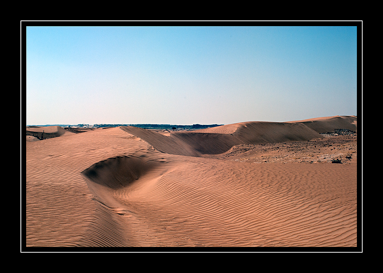
Dawn over the sands.


