")
Taken with my ‘cheap Nokia phone’ and tinkered with in Photoshop – no camera !
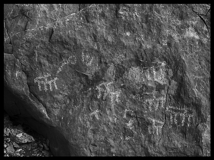
The lost City of Ubar; known by various other names (Wubar, Wabar, Iram of the Pillars and Atlantis of the Sands mentioned by Lawrence of Arabia)
Ubar was a processing and transportation centre for frankincense, an aromatic resin used in religious ceremonies as well as perfumes and medicines, it was as valuable as gold.
Shis’r (Shisr or then again Shasar) being the modern name of this location in Oman. [Even today, names change or most often the spelling used for transliteration can be quite imaginative]
The ancient structure found here from satellite images (Landsat) was partly excavated by Dr. Juris Zarins (Missouri State University) starting in 1992. Others involved were Nicolas Clapp, Sir Ranulph Fiennes, and an archaeologist Dr. Juris Zarins.
There is some considerable doubt !
From that well-known on-line encyclopædia:
When the explorer Freya Stark consulted the works of Arab geographers, she found a wide range of opinions as to the location of Wabar: “Yaqut says: “In Yemen is the qaria of Wabar.” El-Laith, quoted by Yaqut, puts it between the sands of Yabrin and Yemen. Ibn Ishaq… places it between “Sabub (unknown to Yaqut and Hamdani) and the Hadhramaut. Hamdani, a very reliable man, places it between Najran, Hadhramaut, Shihr and Mahra. Yaqut, presumably citing Hamdani, puts it between the boundaries of Shihr and San’a, and then, on the authority of Abu Mundhir between the sands of B.Sa’d (near Yabrin) and Shihr and Mahra. Abu Mundhir puts it between Hadhramaut and Najran.”
“With such evidence,” Stark concluded, “it seems quite possible for Mr Thomas and Mr Philby each to find Wabar in an opposite corner of Arabia.”
See these two links for more detailed information:
http://nabataea.net/ubar.html
http://nabataea.net/shisr.html

 Nikon D800 50mm f1.8 AF D lens.
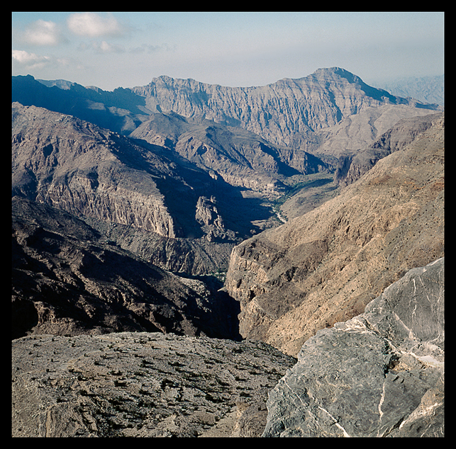


-fort")
-2")


